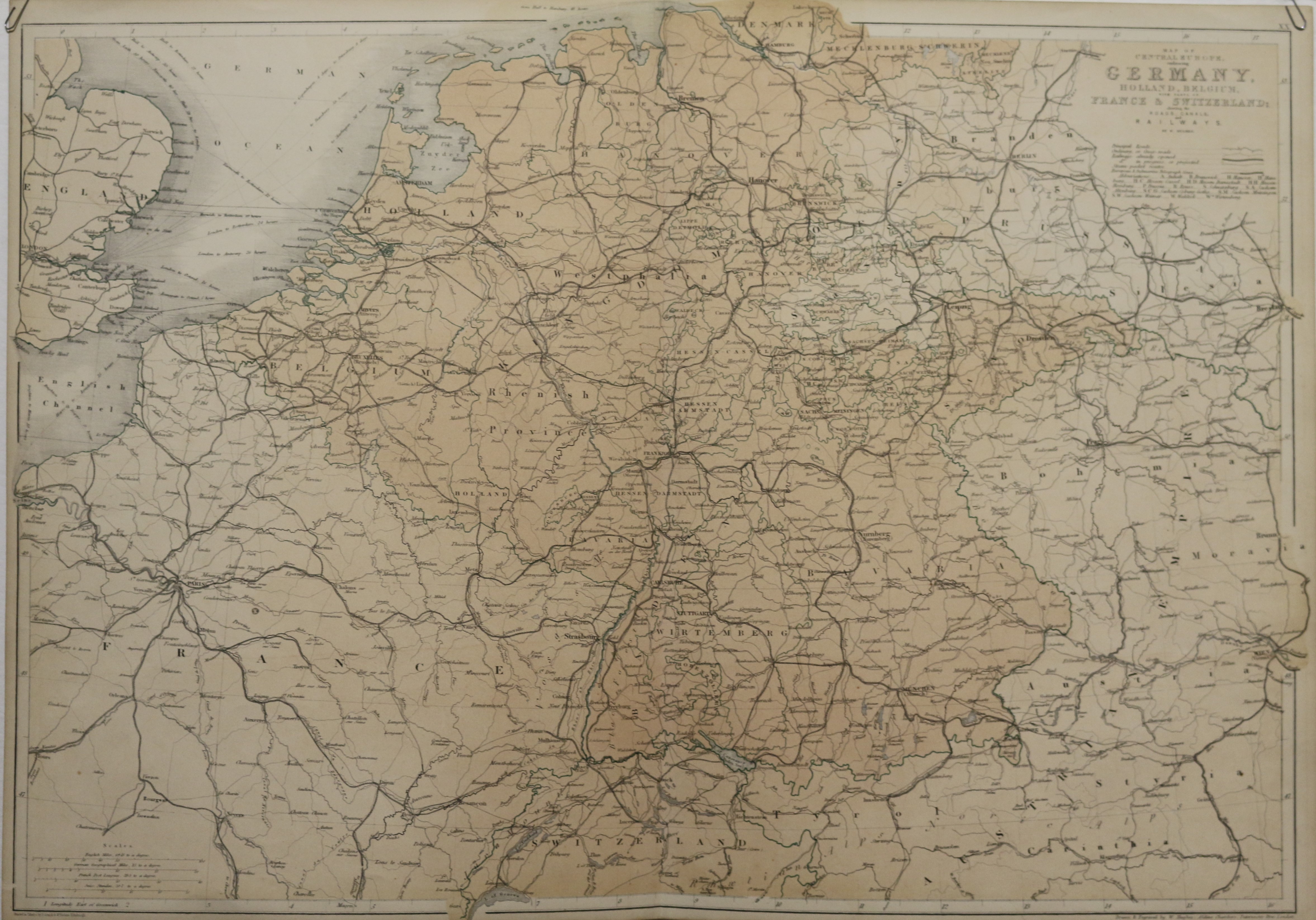
Deutschland- Map of Central Europe, embracing Germany, Holland, Belgium …
Deutschland- Map of Central Europe, embracing Germany, Holland, Belgium ...
|
Deutschland: Railway: Schieneverkehr: Eisenbahn: Map of Central Europe, embracing Germany, Holland, Belgium, with parts of France & Switzerland; showing the roads, canals and railways. Lithografie von W. Hughes, um 1860 erschienen. London & Edinburgh. 42 x 61 cm. Gut erhalten.
EUR 60,-- |

|
HescomShop - Das Webshopsystem für Antiquariate und Verlage | © 2006-2025 by HESCOM-Software. Alle Rechte vorbehalten.

